

Morris Purchase
← Back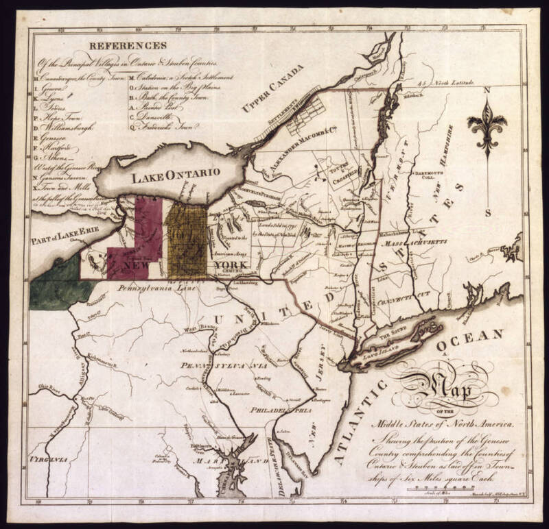
- Title
- Morris Purchase
- Description
- A Map of the Middle States of North America, Showing the position of the Geneseo Country comprehending the Counties of Ontario & Steuben as laid off in Townships of Six Miles square Each
- Creator
- Holland Land Company
- Date
- 1800
- Bibliographic Citation
- ''Morris Purchase, Population Co., and 2 Million Acre Tract; 1800'', Archives of the Holland Land Company, 1789-1869. Original project credit: SUNY Fredonia/GAA Amsterdam/NDR The Hague. Imaged by SUNY Fredonia, Archives and Special Collections, HLC Map 0082, https://cdm16694.contentdm.oclc.org/digital/collection/XFM001/id/363 (accessed 10 June 2026).
- Rights
- Public Domain
- Spatial Coverage
- New York, United States
From the Fifty Acres Archive. High-resolution files available upon request for non-commercial use. Republication or online distribution requires explicit permission.
Request full-res version